An unusual atmospheric pattern known as “Omega” began blocking the normal progression of weather systems across much of the United States on May 12. As a result, millions of people will face several consecutive days of extreme heat, persistent rain, and severe storms, according to data from the National Oceanic and Atmospheric Administration and the National Weather Service.
The phenomenon does not affect the entire country equally. While the center remains under a high-pressure dome with temperatures well above average, the Northwest endures continuous rain and the Northeast faces intense storms. This combination complicates the response from authorities and forces the population to check local forecasts more frequently.
Although the Omega pattern is not unknown to meteorologists, it is unusual for this time of spring. NOAA has documented comparable episodes in previous years, but warns that this type of blocking can prolong health risks, pressure on infrastructure, and agricultural losses. For this reason, the event is already being closely monitored by several federal agencies.
What Is the Omega Pattern and Why Is It Concerning?
The name of the phenomenon comes from its shape on atmospheric maps. Viewed from above, the air circulation adopts a figure similar to the Greek letter Ω. This structure forms when a high-pressure ridge becomes trapped between 2 deep low-pressure troughs.
In simple terms, the system becomes blocked. This prevents fronts and storms from moving quickly. Consequently, the same region can spend several days under extreme heat, repeated rain, or strong storms. This stagnation is what makes the Omega pattern an especially delicate phenomenon.

According to the National Weather Service, the persistence of this blockage increases the risk of cumulative impacts. It is not just about 1 hot afternoon or 1 isolated storm. The problem arises when these conditions repeat for several days and begin to affect public health, transportation, agriculture, and essential services.
The center of the country is the area most exposed to the heat. States such as Kansas, Nebraska, and Oklahoma are recording temperatures of up to 37°C, with values between 15 and 25°C above the seasonal average, according to the Weather Prediction Center. In these areas, the dry heat also raises concerns about soil moisture and the condition of crops.
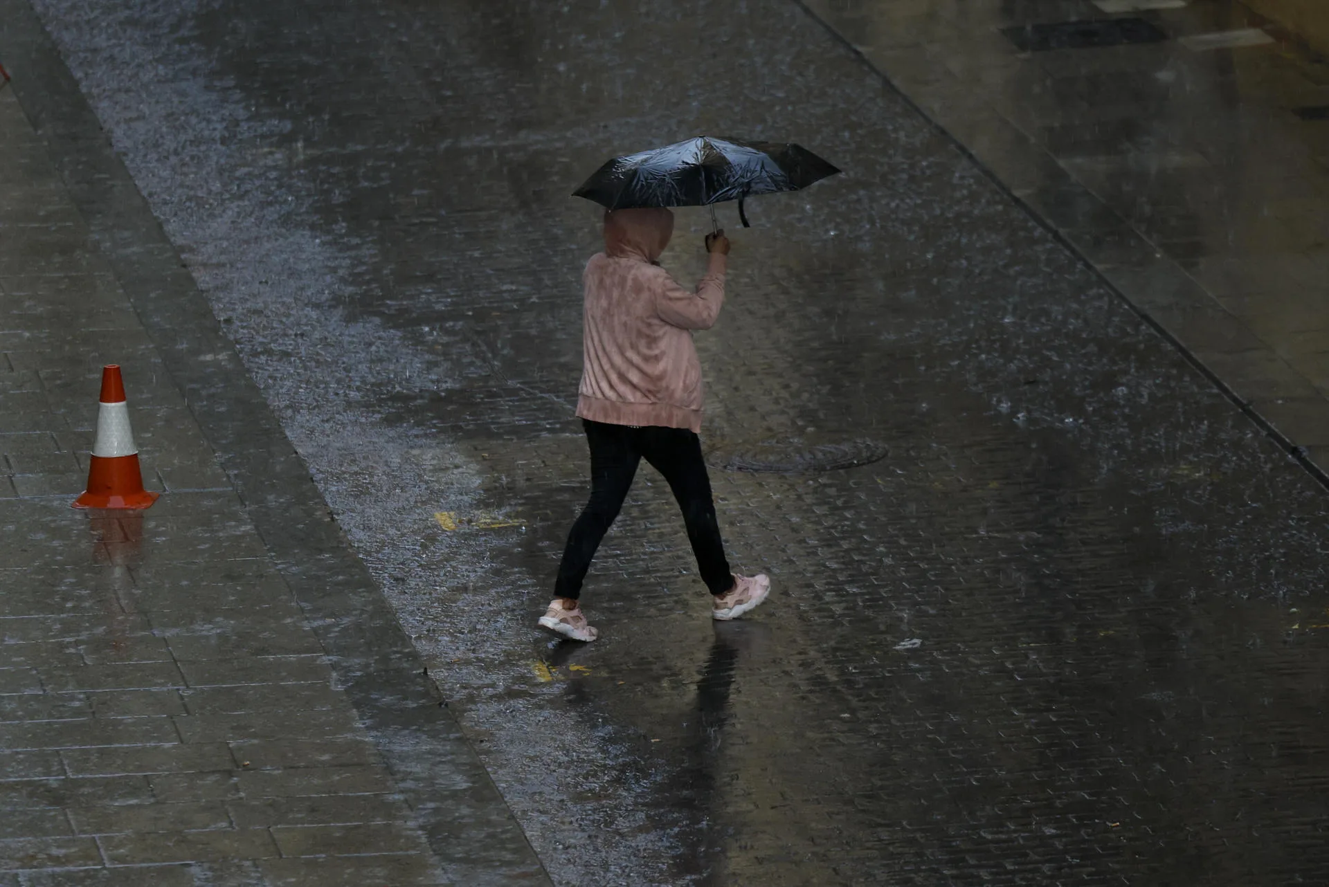
In parallel, the Northwest is receiving the opposite effect. Cities like Seattle and Portland have accumulated more than 50 mm of rain in the last 3 days, according to the Weather Prediction Center. This persistence increases the risk of flooding in low-lying areas, highway delays, and pressure on urban drainage systems.
Which Regions Will Feel the Impact the Most?
The United States has been divided into 3 major impact zones. The Northwest faces constant rain and temperatures cooler than average. The center endures a stagnant mass of warm air. And the Northeast, along with part of the Mid-Atlantic, remains under intense storms, strong winds, and possible hail.
This regional distribution explains why the phenomenon affects such diverse activities simultaneously. In the same country, there can be flight cancellations due to storms, crops threatened by heat, and flash flood warnings. The magnitude of the pattern lies not only in its rarity but in the breadth of its simultaneous effects.
In the Northeast and the Great Lakes region, the situation also demands vigilance. Cities like Chicago and Milwaukee remain under watch for severe storms, while federal agencies warn of hail, damaging gusts, and heavy rain. The Storm Prediction Center maintains advisories for areas of the Gulf and the Southeast due to the risk of severe weather.
The impact has already been noted in transportation. In the last 48 hours, nearly 500 flights were canceled and several hundred more suffered delays at Chicago’s O’Hare Airport due to storms and heavy rain, according to official reports cited in the source content. When the weather remains stagnant, disruptions also last longer.
Furthermore, the Omega pattern puts pressure on the daily economy of millions of families. Prolonged heat increases the use of air conditioning and can raise energy costs. Persistent rain damages outdoor activities, halts construction, and affects small businesses. And intense storms increase the risk of power outages and property damage.
What Are the Risks to Health, Agriculture, and Services?
The first immediate risk is health-related. Several days of intense heat increase the possibility of dehydration, exhaustion, and heatstroke, especially among older adults, children, outdoor workers, and people without adequate access to cooling. Therefore, authorities recommend avoiding strenuous activities during peak temperature hours.
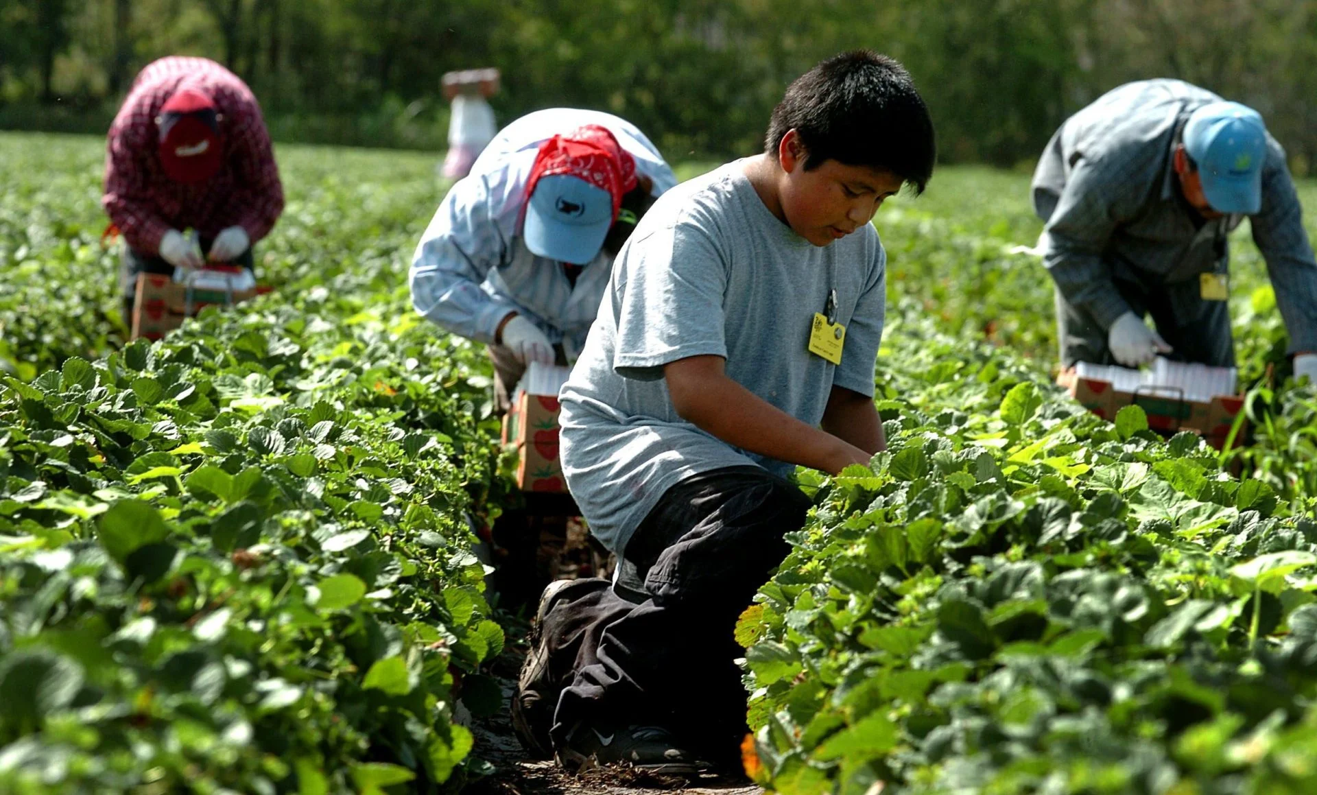
The second strong impact falls on agriculture. In the center of the country, the combination of heat and lack of rain threatens corn and soybean crops. When the soil loses moisture, plants have less margin to grow normally. This pressure can translate into lower yields and higher costs for producers.
In the Northwest, however, the excess rain creates another problem. Saturated soils hinder agricultural work, increase the risk of flooding, and can complicate rural logistics. In this way, the same atmospheric pattern punishes the countryside through opposite but equally serious means.
Infrastructure also comes under pressure. Roads, drainage systems, airports, and power grids typically suffer from several days of extreme conditions. The Department of Homeland Security and local authorities maintain emergency protocols in vulnerable areas, especially where storms could cause rapid damage.
Federal agencies believe the pattern could persist until the end of the week. However, current models suggest that the high-pressure ridge could begin moving eastward starting Friday. If that happens, new fronts could enter and a gradual normalization of the weather could begin.
The extended forecast points to a slow transition. Rain would continue in the Northwest and Northeast over the coming days, while the center would maintain elevated temperatures until Thursday. Afterward, a gradual decrease in heat and greater atmospheric variability are expected over the weekend.
What Should Families Do in the Face of This Event?
The central recommendation is to follow official sources and not trust rumors or old screenshots on social media. The National Weather Service and NOAA update advisories frequently, and those changes can be decisive when there are storms or extreme heat.
It is also advisable to adapt routines. In hot zones, families should stay better hydrated, check on older adults, and avoid intense outdoor exercise. In areas with storms, it is recommended to secure loose objects, charge phones, and check routes before leaving. When the weather remains blocked, risks become linked.
The Omega pattern does not signify a uniform catastrophe, but it does mean a week of high vigilance. Its greatest danger lies in its persistence. When heat, rain, or storms repeat without pause, the effects accumulate faster. Therefore, daily prevention becomes as important as the forecast.
Find out more at Nueva News